SAFETY 24-7
Software highlights More
Impeccable Detail

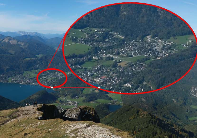
Crystal Clear Insights with High-Quality Zoom
Thanks to the high quality of our cameras, we can zoom into specific parts of the image to obtain crystal-clear information, providing unmatched detail and precision.
As demonstrated in the image above, this capability allows users to closely examine critical areas, ensuring accurate assessments and informed decisions in real time.
Interactive Information

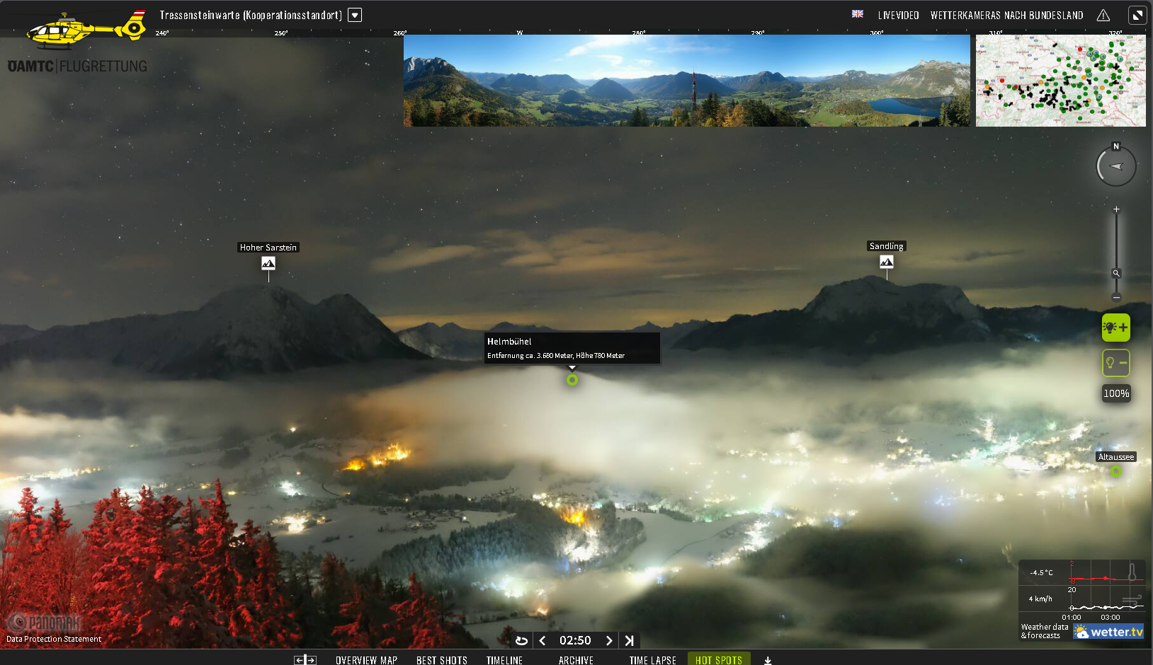
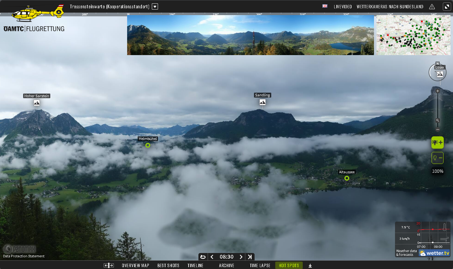
Easily Gauge the Distance of obstacles in your field of view.
Our interactive information system is designed to provide pilots and air traffic controllers with real-time, accurate visibility data through constantly updating images. By incorporating hotspots and interactive lines, we enable users to gauge the actual visibility at various distances, such as 100 meters, 500 meters, 3000 meters, and beyond. With specific interactive triggers, you can click to instantly see visibility levels at these distances, enhancing situational awareness and ensuring safer, more informed decision-making in dynamic flight environments.
Real time Weather Data
Weather Monitoring with Integrated Radar and Satellite Data
We integrate your satellite data into our interactive platform to provide real-time, comprehensive weather insights, enabling pilots to visualize detailed weather patterns, track storms, and assess atmospheric conditions with precision from above.
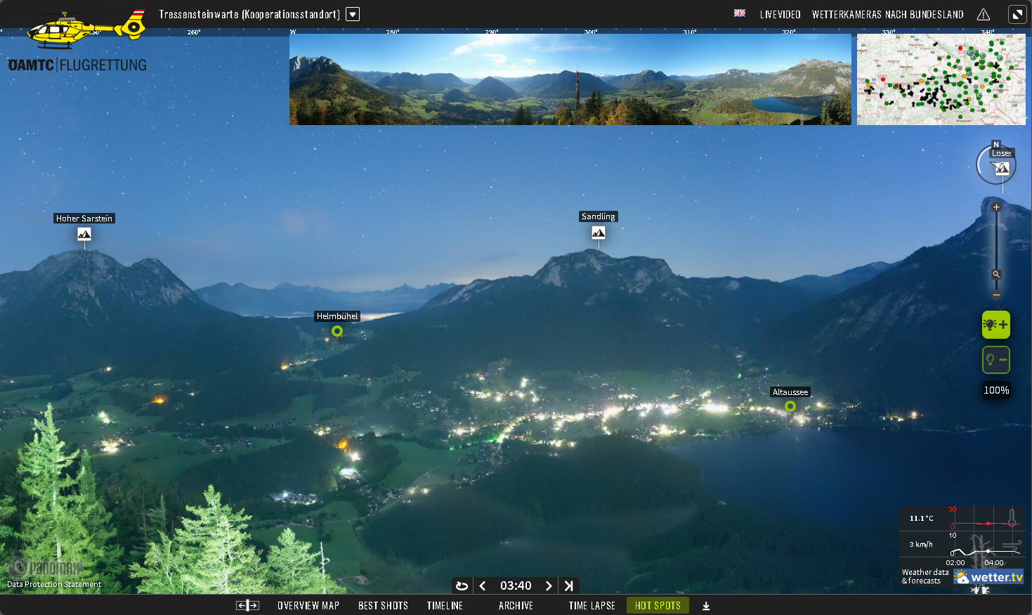
Additionally, our Panomax 360° day and night cameras capture live, on-the-ground footage. By clicking on lens icons on the interactive meteorological map, pilots can seamlessly access real-time ground-level visuals, helping them prepare for preflight checks and enhance situational awareness from a pilot’s perspective.
Real time Weather Data
Interactive overview map. Experience efficiency.
The Panomax overview map offers unparalleled efficiency and accessibility for pilots, serving as a centralized tool to enhance situational awareness during critical operations. Through its interactive content, pilots gain direct access to an extensive network of cameras, enabling them to:
1.Identify the flight path, location of emergencies, operational bases, or hospitals with precision.
2. Click on camera icons to view the specific area in real-time.
3.Preview the live view for a quick assessment of the surroundings.
4.Open the camera feed for full access to detailed visuals, identifying potential hazards, and exploring additional interactive features for enhanced decision-making.
Obstacle Avoidance


Enhancing Safety with Assisting Obstacle Avoidance
Panomax cameras are equipped with an advanced Assisting Obstacle Avoidance feature that enhances safety during low-visibility conditions, such as heavy cloud coverage or fog. This technology allows users to draw lines on the images to outline structures and natural formations, like mountain tops.By accurately indicating the location and distance of these obstacles from the camera, it provides a reliable means to gauge visibility levels and assess cloud coverage heights. This feature significantly improves visual accuracy and situational awareness, ensuring safer navigation and monitoring in challenging environments.
Personalized Features

Interactive Camera Integration for Real-Time Weather Verification
Panomax offers the flexibility to enhance its webcam feed with additional interactive features that can be customized to meet specific flight operation and safety needs. These features can be developed and integrated into the system based on user requirements, but would require a thorough discussion to outline the necessary design, programming, and implementation steps. Depending on the complexity and scope of these custom features, there may be additional costs associated with the development process.


