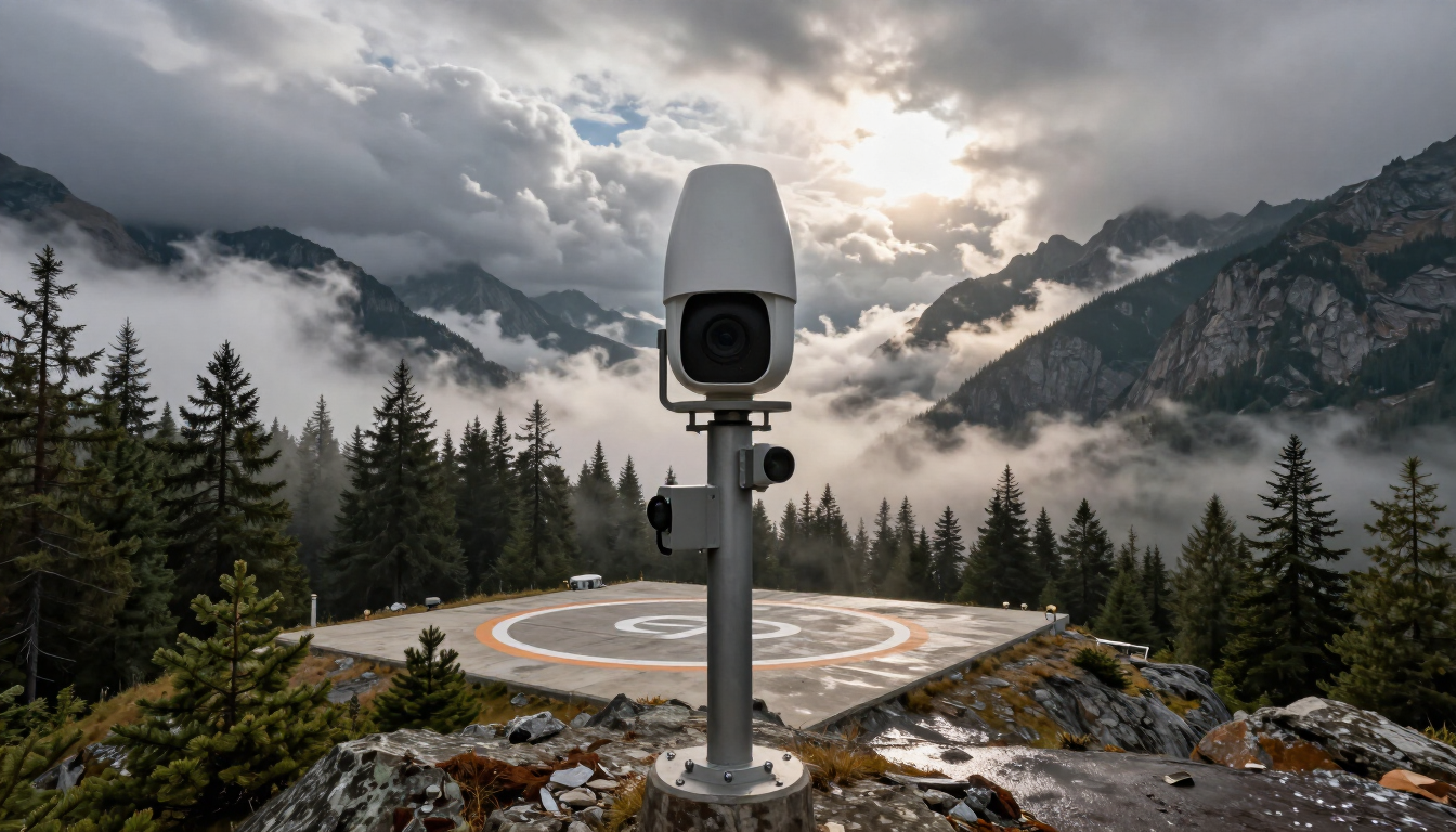


Expanding High-Altitude Visual Safety: Panomax Brings Advanced HEMS Weather Cameras to Colorado
For Helicopter Emergency Medical Service (HEMS) operators, weather is the ultimate variable. Mountainous terrain, rapid meteorological shifts, and low-visibility conditions like fog and low clouds can mean the difference between an immediate, life-saving launch and a grounded fleet.
To bridge this critical information gap, Panomax is proud to announce our official expansion into the United States, anchored by a landmark deployment of a 12-camera network across Colorado.
This milestone marks a major step forward in aviation safety and situational awareness for American emergency medical transport.
Why Real-Time Visual Intelligence Matters for HEMS
Traditional weather stations provide fragmented data points—wind speed, barometric pressure, and temperature at isolated spots. However, they cannot answer the most vital question a pilot and dispatcher face: What are the actual visual flying conditions right now in the pass, the valley, and along the route?
Panomax specializes in high-resolution, live 360-degree interactive camera systems engineered specifically for high-alpine and remote environments. By placing these robust camera nodes on strategic telecommunications towers and ridgelines, HEMS operators gain:
- Live Visual Verification: High-definition video streams that let pilots inspect cloud ceilings, visibility, and fog layers instantly before takeoff or en route.
- Time-Lapse and Archiving: Historical data to analyze weather patterns over specific corridors.
- Public-Private Access Control: Secure, real-time feeds tailored for dispatchers, meteorologists, and flight crews.
Colorado: The Ideal Launchpad for US Expansion
Colorado’s dramatic topography—featuring towering peaks, deep valleys, and notoriously volatile mountain weather—makes it one of the most demanding regions for aerial rescue operations.
Our initial deployment of a 12-camera network strategically covers high-risk corridors and key transit zones throughout the state. By mounting our systems on robust communication infrastructure high above the valleys, the network captures the exact vantage points pilots need to assess conditions in real time.
Whether monitoring a thick blanket of morning fog rolling into a mountain pass or checking summit winds, emergency flight programs now have eyes on the weather where it matters most.
Overwhelmingly Positive Early Results and Feedback
Since going live, the response from local HEMS operators and aviation safety teams has been exceptionally strong. Early feedback highlights how access to continuous, high-definition visual data has streamlined dispatch decisions and boosted operational confidence during marginal weather windows.
- "Having eyes on the ridge lines before our crews spin up saves critical minutes and eliminates guesswork," notes early feedback from flight dispatchers utilizing the new Colorado network.
- Operators have praised the crystal-clear clarity of the live feeds, noting that even dense valley fog and changing cloud layers are easily tracked through the Panomax interface.
Looking Ahead
This 12-camera deployment in Colorado is just the beginning. As we scale our footprint across the United States, Panomax remains committed to empowering emergency services, mountain operators, and aviation networks with the visual intelligence they need to save lives safely.
Are you a HEMS operator or infrastructure owner looking to enhance regional situational awareness? Contact the Panomax team today to learn more about our specialized camera solutions and how we can support your operations.