
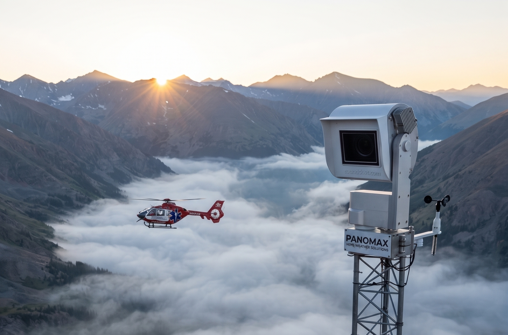

Developed with pilots for pilots - Day and Night Operations
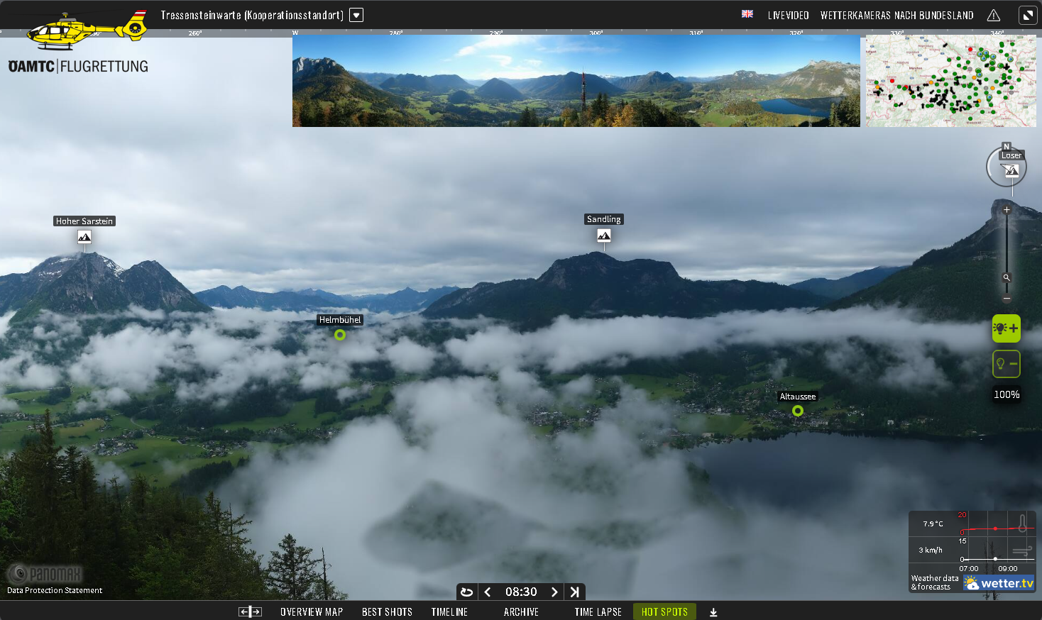
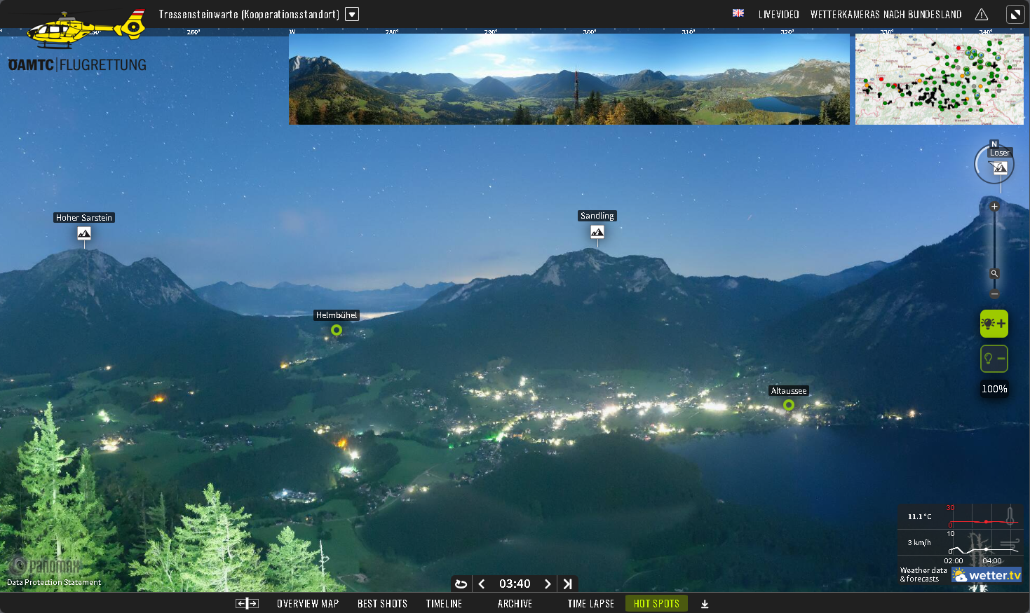
See the weather before you launch. 360° day-and-night weather cameras on the corridors you actually fly. Live, interactive, and updated 24/7.
Elevate your Flight operations, today.
01:00AM
Crystal clear.
24 hours per day
Weather Intelligence for HEMS
One picture. One decision. One mission.
Live 360° day-and-night weather cameras on the corridors you actually fly, so the go/no-go call is made with eyes, not estimates.
Explore how Panomax Cameras make a positive impact on your operations
<1%
weather turn-backs for European operators —down from roughly 15%
400+
night flights added per yearat a single base
$6–8K
direct cost saved per hourper avoided abort
NOW FLYING North America Since 2026
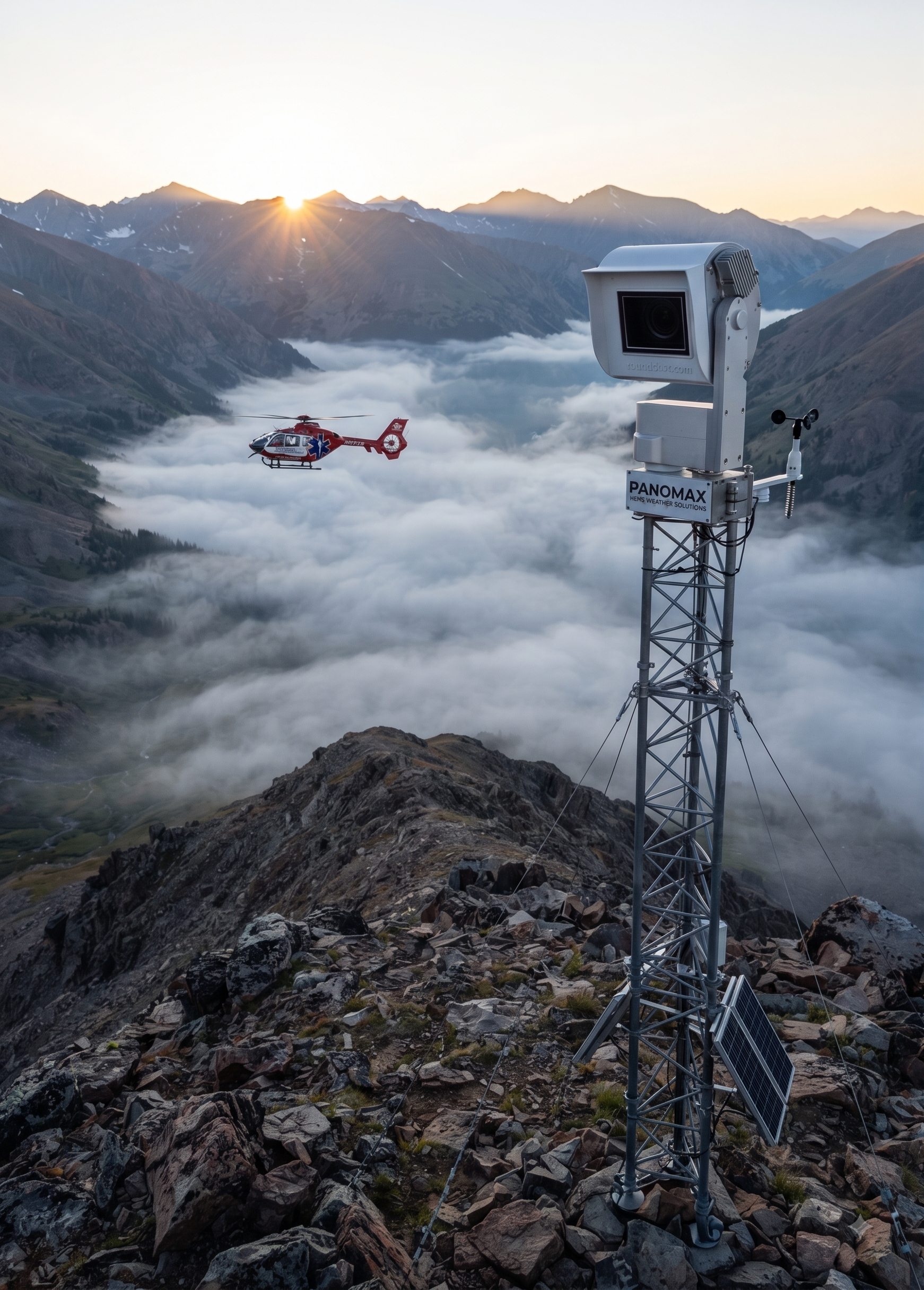
Flight for Life Colorado is deploying a 12-camera Panomax network along its flight paths across the Rockies. Every site chosen by their own pilots. The first stations are live, with crews using them on every shift.Meet us at:
AirdMed
in Munich 2026,
AMTC — Fort Worth, October 26–28,
European Rotors in Lyon, OR
Verticon 2027 CA Schedule a meeting.
Flight safety with Panomax
COMPARE OUR REMOTE WEATHER MONITORING SOLUTIONS
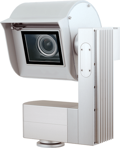
Panomax 360°
Day & Night
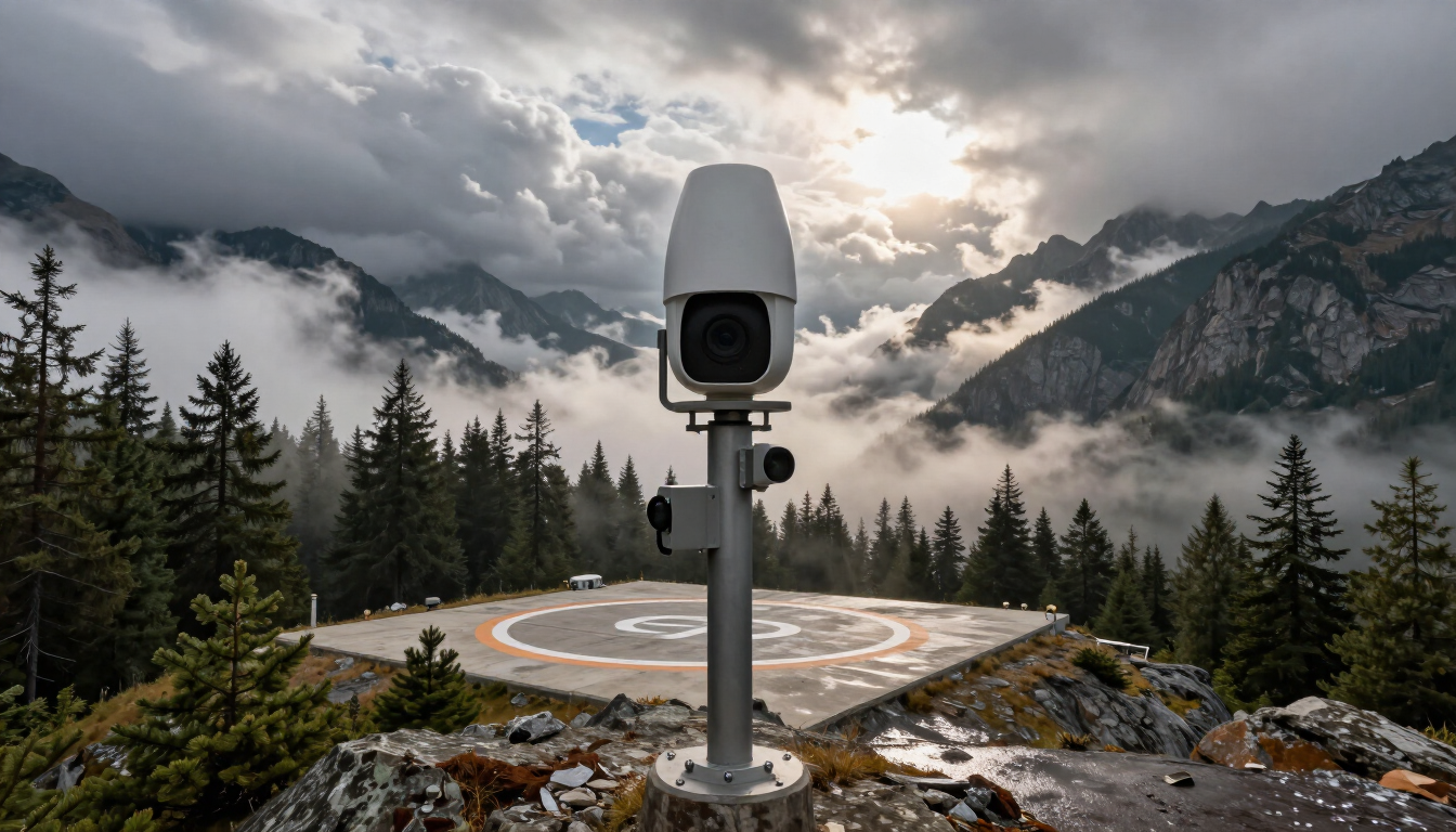
Full-horizon awareness for base sites, mountain passes and corridor waypoints. Every direction, every 5–10 minutes, 24 hours a day.


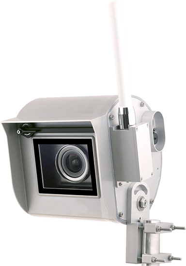
Panomax 100°
Day & Night
A fixed stare down one approach: a valley, a shoreline, a pass. The right tool when one direction is the whole story.

Day & Night
SOFTWARE PILOTS
CAN RELY ON
One picture, whole crew
Pilot, OCC and med crew see the same live 360° view, zoomable to the horizon, updated as often as every 5 minutes. Shared situational awareness before anyone straps in.
24/7 Performance
Night performance is the whole point, not a footnote. Our low-light imaging shows moonless-night conditions no AWOS text can describe.
More completed missions
European programs cut weather turn-backs from ~15% to under 1% and added hundreds of night flights per year at single bases. Every avoided abort saves $6,000–8,000 in direct costs, and gets the patient to care.
BREAKING DOWN SAFETY & COMPLIANCE
Reliable 100° to 360° Timestamped Images + 4K Video
Proven success
Real-time timestamped weather imaging.
Our cameras deliver clear, high-resolution 360° day and night images and 4K video, essential for safe and compliant decision-making during HEMS operations.
Fixed Location, Bearing, and Altitude Logging
Accurate Data for Critical Decisions
Panomax cameras are meticulously calibrated and documented to exceed FAA standards.
Our technology provides exact location, bearing, and altitude information for all landmarks, ensuring the data you rely on is precise and compliant with regulatory requirements.
Real-Time Weather Monitoring
24/7 Operational Safety and Compliance
Achieve continuous compliance with FAA’s weather monitoring requirements.
Our application is compatible with reliable external weather data, empowering you to make informed operational decisions and enhance flight safety.
Serviceability and Maintenance
Maintain Continuous Compliance and Safety
Our cameras are engineered for durability and ease of maintenance, ensuring they remain fully operational and compliant.
With Panomax, you can rely on uninterrupted performance and continuous monitoring to meet regulatory standards.
GENERAL DATA PROTECTION REGULATIONS
Our AI-powered system automatically blurs people in the feed to protect individual privacy and prevent unauthorized identification.
The technology identifies and blurs houses and buildings to ensure residential privacy and prevent properties from being identified.
License plates are instantly detected and blurred by our interactive webcams, protecting vehicle information from public disclosure.
Our AI also blurs specific land areas, including sensitive zones, to maintain the confidentiality of restricted or private locations.
HOW DO WE START?

Intro call
01.
Pilot-led site survey
02.
Project Management
03.
Hardware Installation
04.
Remote Maintenance & Software Configuration
05.
Does this replace METARs or my weather minimums?
No. It shows you what the numbers can't: the actual sky between stations. Crews use Panomax alongside METARs/TAFs to make the minimums call with eyes on the route.
How is this different from FAA weather cameras?
Learn MoreWe're the complement, not the competition. FAA cameras cover airports and select corridors; Panomax cameras go where your program actually flies — your bases, passes and scene-call country — in full 360° at up to 230 MP, and both can live on the same map.
What does an aborted flight really cost?
US programs typically put direct costs at $6,000–8,000 per hour due to weather abort, before counting the patient impact. European operators using our networks cut weather turn-backs from ~15% to under 1%.
Not to mention, safety, fatigue management, and general wear and tear of componants.
Who's flying with Panomax?
Flight for Life Colorado (CommonSpirit Health) is deploying a 12-camera network in the US. In Europe: ÖAMTC, ADAC Luftrettung, DRF Luftrettung, Luxembourg Air Rescue and many more are using hundreds of cameras in daily HEMS operation.
What is required for night operations?
High-resolution imaging: Panomax cameras provide clear, real-time images even in low-light conditions, ensuring operators have the visibility needed for safe night operations.
Why is timestamped imaging important?
Accurate weather monitoring: Timestamped images provide precise, time-specific data that allows operators to monitor and assess current weather conditions in real time, which is crucial for making informed decisions during flight operations, especially in rapidly changing environments.
How Panomax Helps HEMS Teams Make Better Flight Decisions
Panomax provides live day and night visual weather visibility at key locations along flight routes and landing zones. This allows flight crews and operations teams to see actual conditions, not just forecasts or reports.
By adding continuous visual confirmation of weather and microclimate changes, Panomax helps reduce uncertainty during go/no-go decisions, lowers the risk of aborted or return flights, and supports safer mission planning before and during operations.
Panomax track record
Panomax works with HEMS operators including ÖAMTC Flugrettung, ADAC Luftrettung, DRF Luftrettung, and Luxembourg Air Rescue, as well as HEMS operators in the United States and police aviation units in Europe.
Can our foundation fund this?
Many programs fund camera networks through philanthropy. A weather camera is capital equipment donors can see, understand and put their name on.
Other programs allocate the savings directly towards growing the camera network.
FREQUENTLY ASKED QUESTIONS
WHY PANOMAX?

Marco Trefanitz - Managing Director
ÖAMTC - Austria
"Safe flight preparation begins with the right understanding of weather, and timely weather data is essential. With Panomax, we have had not only a technologically advanced but also a reliable partner by our side for years. The combination of high-resolution camera images and jointly developed software goes far beyond a standard solution — it provides us with an interactive weather map covering the entire country. This map combines weather radar images, data from various weather stations, and camera images from ÖAMTC and Panomax locations. This allows our pilots to access all the data they need in real time to quickly and safely plan the best flight routes. As ÖAMTC Air Rescue, we were the first to use this innovative approach for effective mission planning. In this way, Panomax supports us every day, even indirectly, in our often life-saving missions."
“Their proven track record as industry leaders gives us the confidence and trust we require."
GERMANY
“We are planning a nationwide implementation of Panomax technologies to assist us in critical zones."