


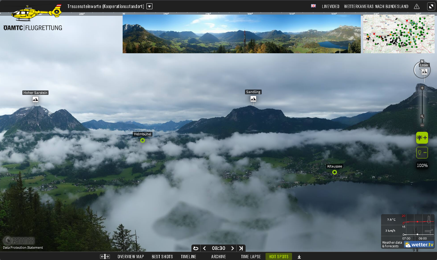
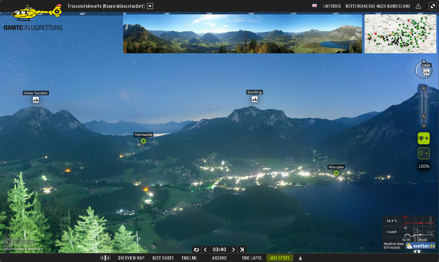



See how HEMS weather cameras help pilots and rescue teams manage forecast uncertainty, improve operational efficiency and support safer helicopter missions in the US and Europe.
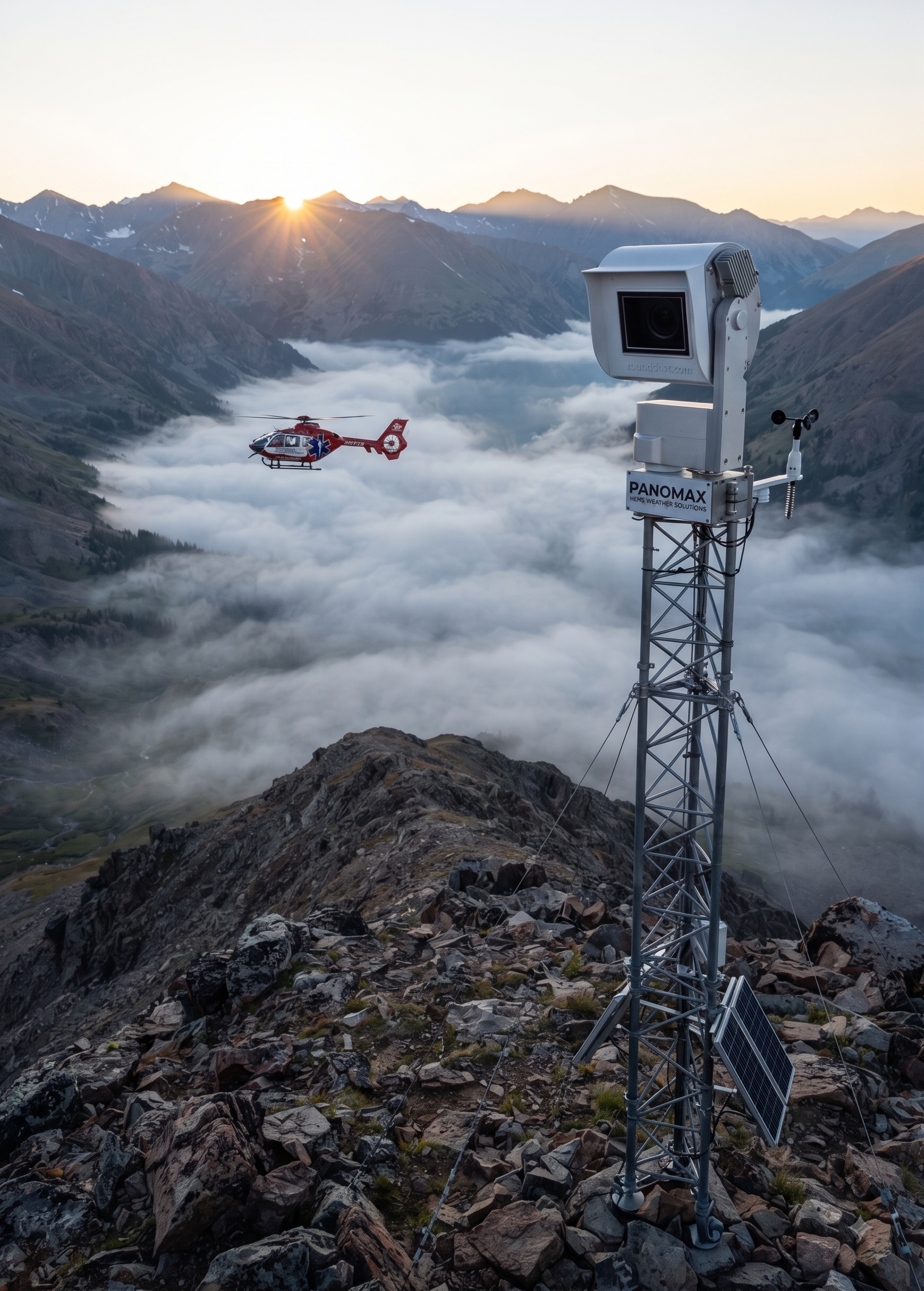
Expanding High-Altitude Visual Safety: Panomax Brings Advanced HEMS Weather Cameras to Colorado
Your Flights, Your Data, Our Promise
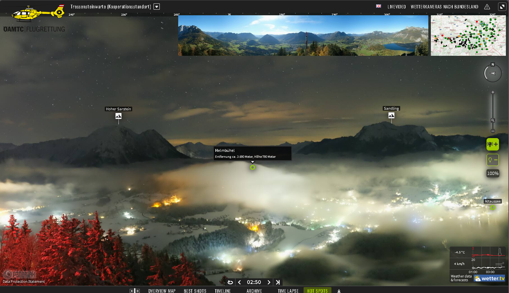
Panomax Joins EHAC: Redefining Efficiency and Safety in HEMS Operations
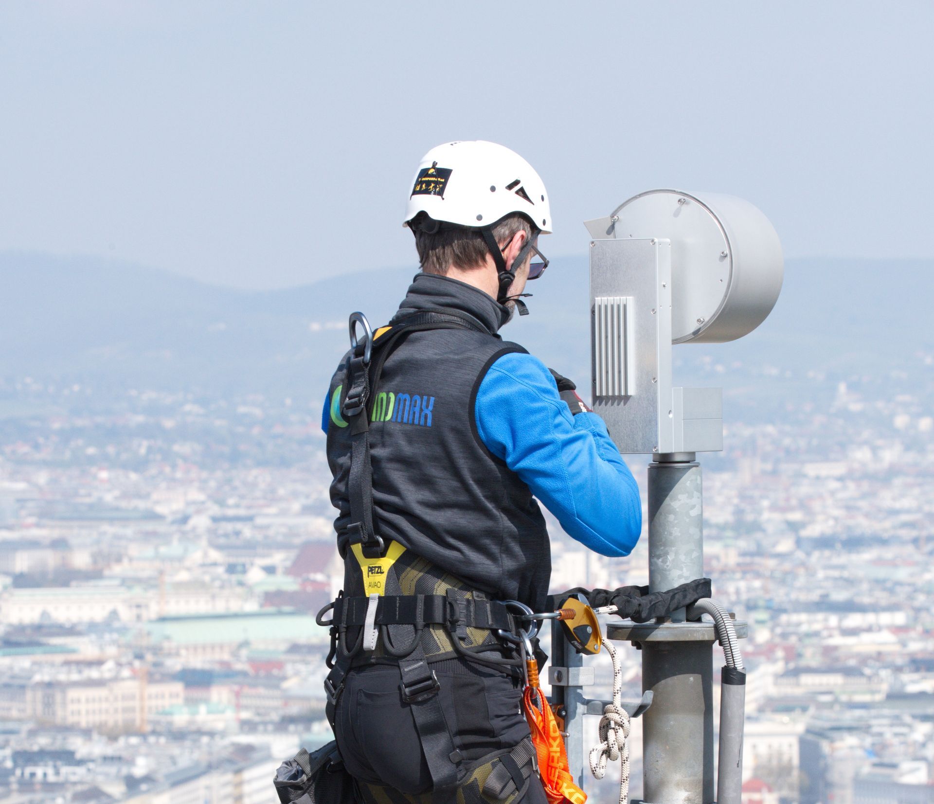
The clock is ticking for Helicopter Emergency Medical Services (HEMS) as the European Union Aviation Safety Agency (EASA) tightens regulations by May 2026. Don't get caught off guard—ensure your operations stay compliant and safe with Panomax's advanced webcam solutions.
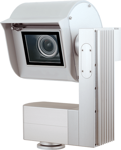
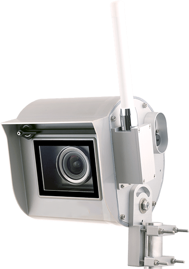
Our cutting-edge cameras provide real-time, high-resolution weather data, exceeding the upcoming EASA requirements. By implementing Panomax now, you can ensure a seamless transition, avoid potential penalties, and enhance your operational efficiency.
Invest in the future of your HEMS operations. Contact us today to secure your compliance and safety with Panomax’s industry-leading technology.
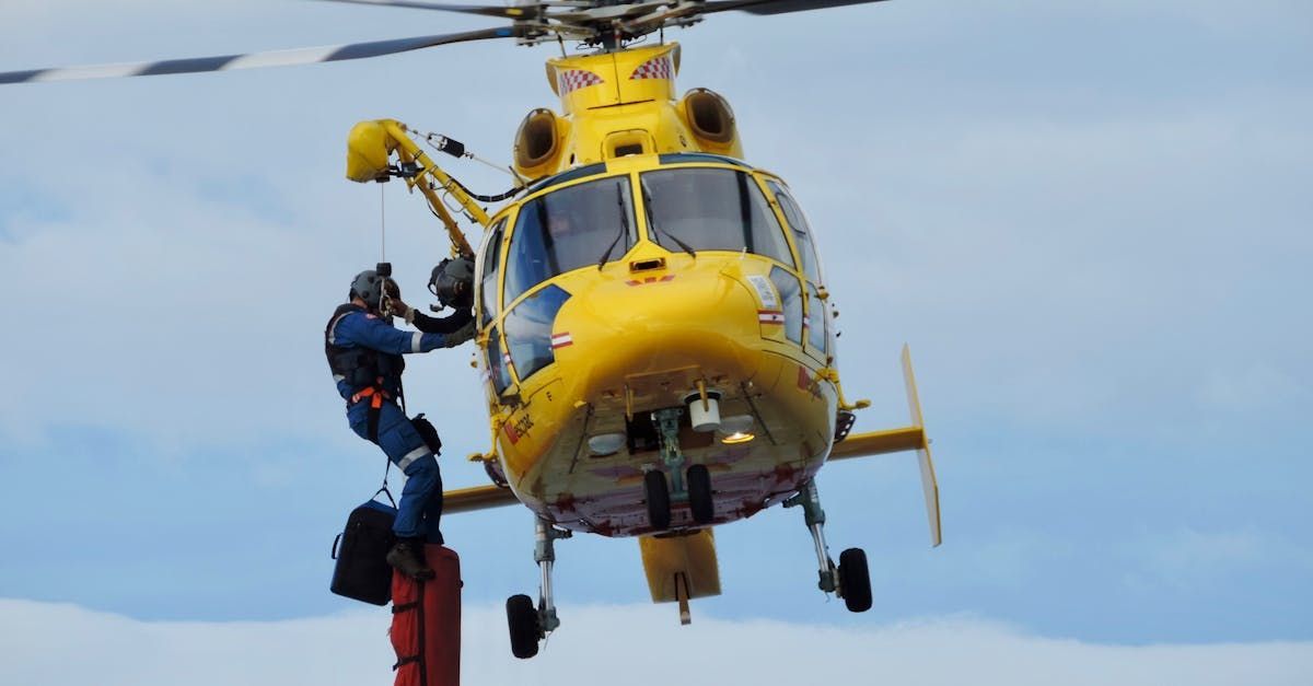
This blog post provides an in-depth overview of the new EASA regulations that will impact Helicopter Emergency Medical Services (HEMS) operations starting in May 2026. It explains the key requirements, including the need for reliable meteorological information, the importance of timestamped imaging, and the necessity for precise location, bearing, and altitude data. The post also quotes specific regulations, including AMC1 SPA.HEMS.145(b) and AMC1 CAT.OP.MPA.192, to give operators a clear understanding of what is required for compliance. It emphasizes the importance of acting now to ensure that HEMS operations are fully prepared to meet these new standards and highlights how Panomax can assist in achieving compliance through their advanced webcam solutions.
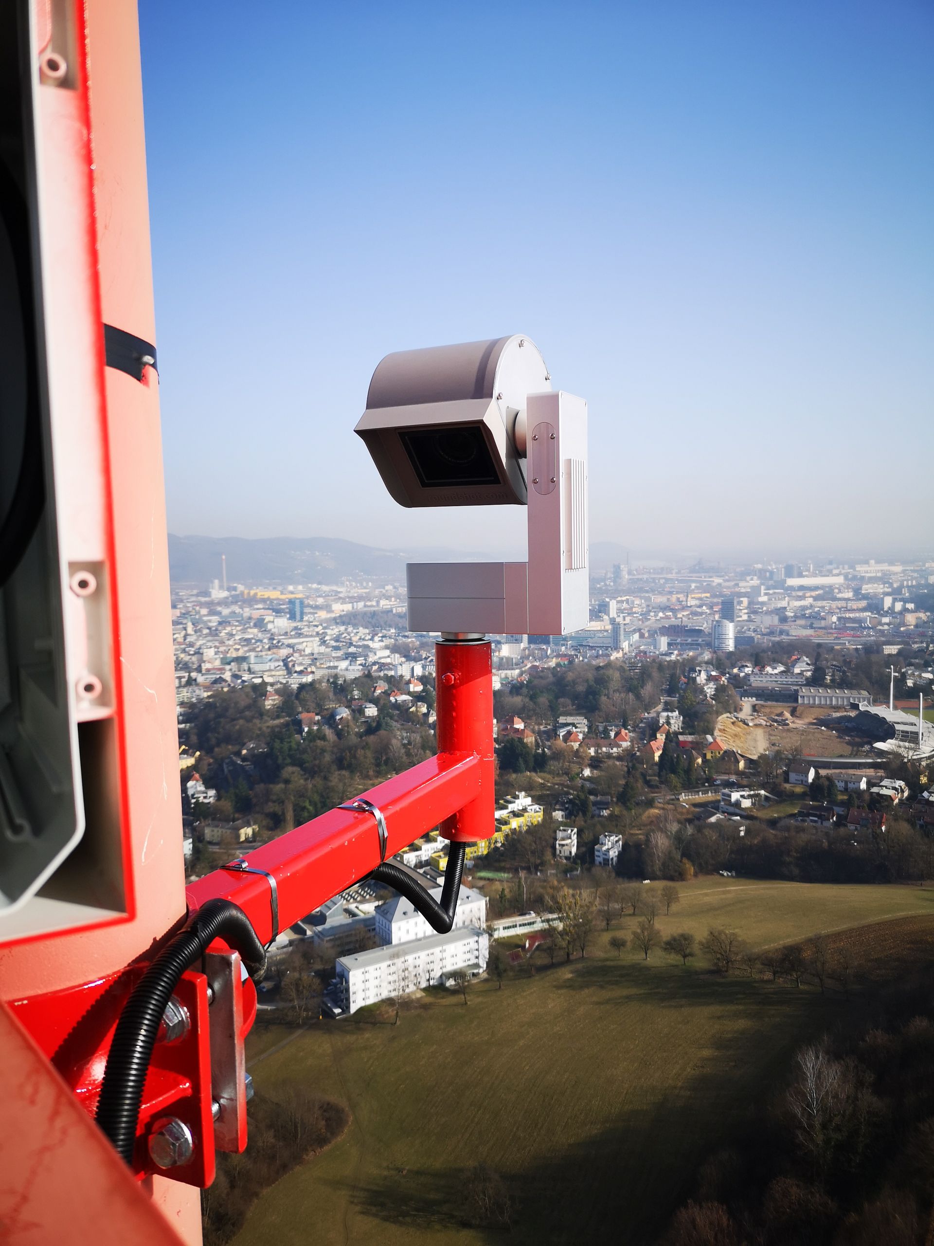
In the high-stakes world of Helicopter Emergency Medical Services (HEMS), safety, efficiency, and compliance are paramount. As regulations tighten and the demands on your operations increase, having the right technology partner is crucial. Panomax, with its proven track record and cutting-edge solutions, offers a range of benefits that can significantly enhance your HEMS operations. Here’s why working with Panomax is a game-changer for your organization: 1. Proven Track Record with Renowned HEMS Operators Panomax is trusted by some of the most respected names in the industry, including ÖAMTC Air Rescue, ADAC Luftrettung, and Luxembourg Air Rescue. These organizations rely on our advanced webcam solutions to provide real-time, high-resolution imaging that is critical for safe and effective flight operations. Our long-standing partnerships with these industry leaders are a testament to the reliability and effectiveness of our technology. 2. Compliance with EASA Regulations The European Union Aviation Safety Agency (EASA) has set stringent regulations for HEMS operations, particularly concerning the monitoring of weather conditions during night flights. Panomax cameras are designed to not only meet but exceed these regulatory requirements. By providing reliable, timestamped images with precise geolocation data, our solutions help you maintain full compliance, reducing the risk of operational disruptions and enhancing safety. 3. Enhanced Operational Safety Safety is the cornerstone of any successful HEMS operation. Panomax cameras deliver real-time, 360° visibility, ensuring that your pilots have access to the most accurate and up-to-date weather information available. This level of detail empowers your team to make informed decisions quickly, even in challenging conditions, significantly reducing the risk of weather-related incidents. 4. Increased Efficiency and Mission Success Time is of the essence in HEMS operations, and Panomax technology helps you make the most of it. Our systems enable faster decision-making by providing immediate access to critical weather data, streamlining mission planning, and reducing downtime. This efficiency translates into more successful missions, allowing you to save more lives and improve overall operational performance. 5. Comprehensive and Customized Solutions At Panomax, we understand that every HEMS operation is unique. That’s why we offer a tailored approach to our services, from initial consultation through to installation and ongoing maintenance. Our team works closely with you to identify the best locations for camera installations, select the right equipment, and configure our software to meet your specific needs. This customized approach ensures that you get a solution that fits seamlessly into your operations. 6. Continuous Support and Innovation The technology landscape is constantly evolving, and so are the challenges faced by HEMS operators. Panomax is committed to staying at the forefront of these changes by continuously improving our software and offering regular updates. Additionally, our remote assistance and monitoring services ensure that your cameras remain online and operational at all times, providing you with peace of mind that your systems are always ready when you need them. 7. Unmatched Image Quality In HEMS operations, clear and reliable imagery is vital. Panomax cameras provide exceptional image quality, both during the day and at night, ensuring that you have the visual clarity needed for critical missions. Whether it’s monitoring weather patterns or assessing flight paths, our cameras deliver the detail and precision required for high-stakes decision-making. Conclusion: Why Choose Panomax? Working with Panomax means partnering with a company that understands the unique challenges of HEMS operations and is dedicated to helping you overcome them. Our proven technology, combined with our commitment to safety, compliance, and continuous improvement, makes Panomax the ideal choice for enhancing your operational capabilities. By choosing Panomax, you’re not just investing in a product—you’re investing in a partnership that supports your mission to save lives, every day. Don’t wait to see the difference Panomax can make. Contact us today to learn more about how our advanced webcam solutions can elevate your HEMS operations to new heights.